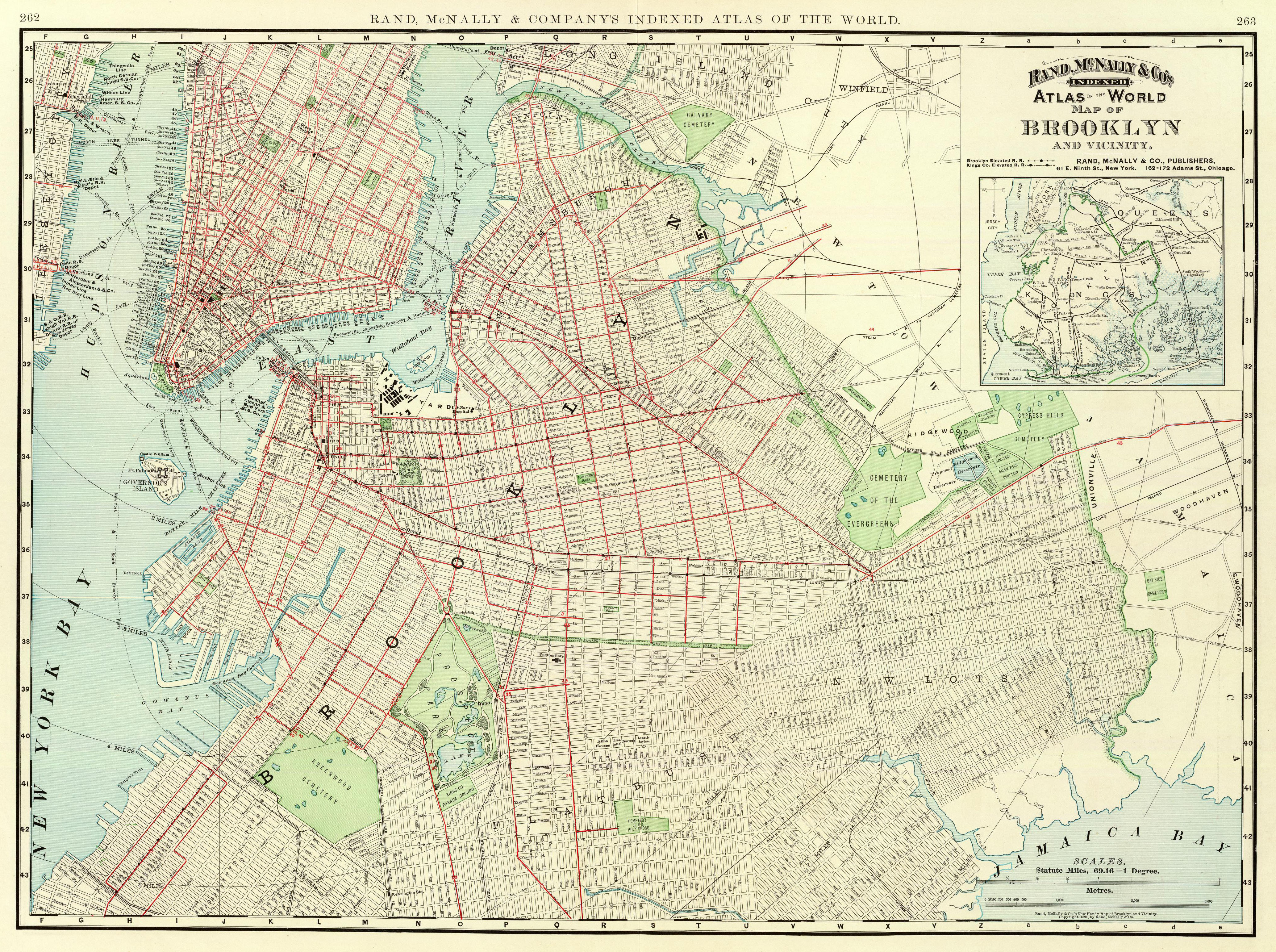
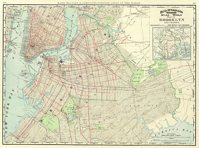
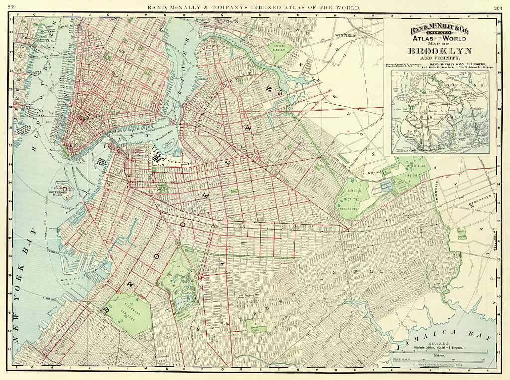
File:1897 Brooklyn map.jpg
Original file (4,134 × 3,084 pixels, file size: 4.48 MB, MIME type: image/jpeg)
| This is a file from the Wikimedia Commons. The description on its description page there is shown below.
|
Summary
| Description | Map of Brooklyn and vicinity published by Rand McNally in 1897 as part of their Atlas of the World. |
| Date | |
| Source | David Rumsey Collection |
| Author | Rand McNally |
Licensing
|
This is a faithful photographic reproduction of a two-dimensional, public domain work of art. The work of art itself is in the public domain for the following reason:
The official position taken by the Wikimedia Foundation is that "faithful reproductions of two-dimensional public domain works of art are public domain". This photographic reproduction is therefore also considered to be in the public domain in the United States. In other jurisdictions, re-use of this content may be restricted; see Reuse of PD-Art photographs for details. {{PD-Art}} template without license parameter: please specify why the underlying work is public domain in both the source country and the United States
(Usage: {{PD-Art|1=|deathyear=''year of author's death''|country=''source country''}}, where parameter 1= can be PD-old-auto, PD-old-auto-expired, PD-old-auto-1996, PD-old-100 or similar. See Commons:Multi-license copyright tags for more information.) | ||||
File history
Click on a date/time to view the file as it appeared at that time.
| Date/Time | Dimensions | User | Comment | |
|---|---|---|---|---|
| current | 14:12, 24 December 2006 | 4,134 × 3,084 (4.48 MB) | NE2 | This is a map of Brooklyn and vicinity published by Rand McNally in 1897 as part of their Atlas of the World. The [http://www.davidrumsey.com/ David Rumsey Collection] scanned it. Category:Maps Category:Brooklyn |
File usage
The following page uses this file: