File:Stompwijkseweg 68-70, Stompwijk, Netherlands.JPG

Size of this preview: 800 × 535 pixels. Other resolutions: 320 × 214 pixels | 640 × 428 pixels | 1,024 × 685 pixels | 1,395 × 933 pixels.
Original file (1,395 × 933 pixels, file size: 563 KB, MIME type: image/jpeg)
| This is a file from the Wikimedia Commons. The description on its description page there is shown below.
|
Summary
| Description |
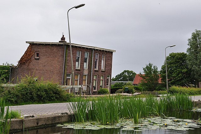
English: Subsided houses on a dike, Stompwijk, Netherlands
Nederlands: Verzakte huizen langs de Stompwijkseweg (No. 68 en 70), Stompwijk |
| Date | |
| Source | Own work |
| Author | Vincent van Zeijst |
| Camera location | | View this and other nearby images on: OpenStreetMap |
|---|
Licensing
I, the copyright holder of this work, hereby publish it under the following license:
This file is licensed under the Creative Commons Attribution 3.0 Unported license.
- You are free:
- to share – to copy, distribute and transmit the work
- to remix – to adapt the work
- Under the following conditions:
- attribution – You must give appropriate credit, provide a link to the license, and indicate if changes were made. You may do so in any reasonable manner, but not in any way that suggests the licensor endorses you or your use.
File history
Click on a date/time to view the file as it appeared at that time.
| Date/Time | Dimensions | User | Comment | |
|---|---|---|---|---|
| current | 13:00, 21 July 2010 | 1,395 × 933 (563 KB) | Loranchet | {{Information |Description={{en|1=Subsided houses on a dike, Stompwijk, Netherlands}} {{nl|1=Verzakte huizen langs de Stompwijkseweg (No. 68 en 70), Stompwijk}} |Source=Own work |Author=Vincent van Zeijst |Date=20 June 2010 |Permission= |other_versions= } |
File usage
The following page uses this file: