File:East torino NASA.png

Size of this preview: 800 × 527 pixels. Other resolutions: 320 × 211 pixels | 640 × 421 pixels | 992 × 653 pixels.
Original file (992 × 653 pixels, file size: 1.18 MB, MIME type: image/png)
| This is a file from the Wikimedia Commons. The description on its description page there is shown below.
|
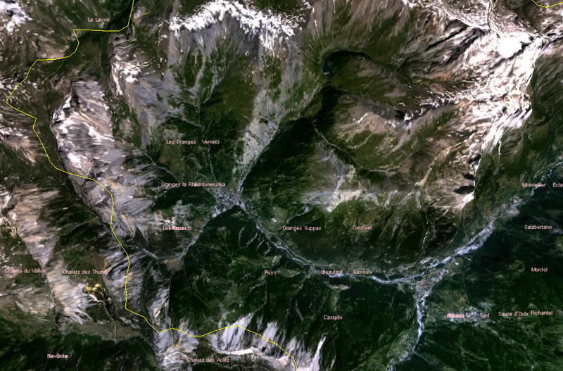
satellite image of eastern part of Italian province of Torino, where the 2006 winter olympics were held
| This image is in the public domain because it is a screenshot from NASA’s globe software World Wind using a public domain layer, such as Blue Marble, MODIS, Landsat, SRTM, USGS or GLOBE.
|
 |
File history
Click on a date/time to view the file as it appeared at that time.
| Date/Time | Dimensions | User | Comment | |
|---|---|---|---|---|
| current | 20:13, 20 March 2006 | 992 × 653 (1.18 MB) | Roke~commonswiki | satellite image of eastern part of Italian province of Torino, where the 2006 winter olympics were held Category: Winter Olympics {{PD-WorldWind}} |
File usage
The following page uses this file: