File:Europe map 1648.png

Size of this preview: 800 × 577 pixels. Other resolutions: 320 × 231 pixels | 640 × 462 pixels | 1,024 × 739 pixels | 1,280 × 924 pixels | 1,894 × 1,367 pixels.
Original file (1,894 × 1,367 pixels, file size: 193 KB, MIME type: image/png)
| This is a file from the Wikimedia Commons. The description on its description page there is shown below.
|
Summary
| Description |
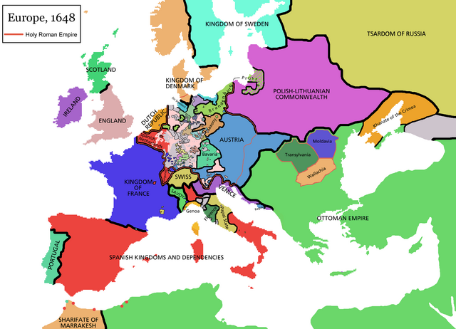
پنجابی: قریم یورتی ، یورپ دے 1648ء دے نقشے وچ. Français : carte de l'Europe en 1648 |
| Source | http://cs.wikipedia.org/wiki/Soubor:Europe_map_1648.PNG |
| Author | Rake |
Licensing
This file is licensed under the Creative Commons Attribution-Share Alike 3.0 Unported license.
- You are free:
- to share – to copy, distribute and transmit the work
- to remix – to adapt the work
- Under the following conditions:
- attribution – You must give appropriate credit, provide a link to the license, and indicate if changes were made. You may do so in any reasonable manner, but not in any way that suggests the licensor endorses you or your use.
- share alike – If you remix, transform, or build upon the material, you must distribute your contributions under the same or compatible license as the original.
File history
Click on a date/time to view the file as it appeared at that time.
| Date/Time | Dimensions | User | Comment | |
|---|---|---|---|---|
| current | 03:26, 25 September 2010 | 1,894 × 1,367 (193 KB) | Fakirbakir | {{Information |Description={{pnb|قریم یورتی ، یورپ دے 1648ء دے نقشے وچ.}}<!--Description fetched by DieBucheBot--> |Source=*File:Europe_map_1648.png |Date=2010-09-25 10:21 (UTC) |Author=*File:Europe_map_1648.png: '''Fa |
File usage
The following page uses this file: