File:Flag of East Berlin (1956–1990).svg

Size of this PNG preview of this SVG file: 800 × 480 pixels. Other resolutions: 320 × 192 pixels | 1,024 × 614 pixels | 1,280 × 768 pixels | 1,100 × 660 pixels.
Original file (SVG file, nominally 1,100 × 660 pixels, file size: 19 KB)
| This is a file from the Wikimedia Commons. The description on its description page there is shown below.
|
Summary
| Description |
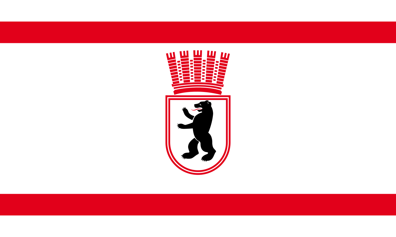
English: state flag of Groß-Berlin and Flag of East Berlin (Soviet sector of Berlin) until 1990
Deutsch: Dienstflagge Groß-Berlins und Flagge in Ost-Berlin (sowjetischer Sektor Berlins) bis 1990 |
| Date | |
| Source | Own work after FOTW |
| Author | User:Madden |
| Permission (Reusing this file) |
Public domain |
| Other versions |
Derivative works of this file: |

.svg)
.svg)
.svg)
Licensing
| I, the copyright holder of this work, release this work into the public domain. This applies worldwide. In some countries this may not be legally possible; if so: I grant anyone the right to use this work for any purpose, without any conditions, unless such conditions are required by law. |
File history
Click on a date/time to view the file as it appeared at that time.
| Date/Time | Dimensions | User | Comment | |
|---|---|---|---|---|
| current | 17:43, 7 July 2023 | 1,100 × 660 (19 KB) | HapHaxion | reduce file size |
File usage
The following 37 pages use this file:
- Allied-occupied Germany
- Baden
- Berlin
- Berlin Wall
- British occupation zone in Germany
- Charlottenburg
- Charlottenburg-Wilmersdorf
- East Berlin
- Friedrichshain-Kreuzberg
- Greater Hesse
- Groß-Berlin
- Kreuzberg
- Köpenick
- Lichtenberg
- Lichtenberg-Hohenschönhausen
- Marzahn
- Marzahn-Hellersdorf
- Mitte
- Mitte (locality)
- Neukölln
- Pankow
- Reinickendorf
- Schöneberg
- Soviet occupation zone of Germany
- Spandau
- Steglitz-Zehlendorf
- Tempelhof-Schöneberg
- Treaty on the Final Settlement with Respect to Germany
- Treptow-Köpenick
- West Berlin
- Wilmersdorf
- Württemberg-Baden
- Württemberg-Hohenzollern
- Template:Allied occupied Germany
- Template:Boroughs of Berlin
- Template:Country data Berlin
- Template:EastBerlinMayors
.svg)